


中非共和国
中非共和国的森林资源和背景
中非共和国茂密潮湿森林总面积的 44.6% 用于生产用途.
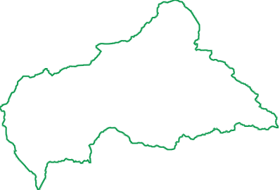
陆地面积
62.3百万公顷
森林覆盖
22.2百万公顷
生产林
4.8百万公顷
森林所有权
98.9% 公有
Types of forest
The Central African Republic (CAR) covers approximately 62.3 million hectares, of which 45.09 million hectares (72.4%) are classified as forest, according to the FAO Global Forest Resources Assessment 2025.
CAR's forest ecosystems include dense humid tropical forests in the south and drier forest–savannah transition zones further north. Dense humid forests, predominantly semi-deciduous, are concentrated in the southwest and, to a lesser extent, around Bangassou in the southeast.
Commercial timber production is mainly concentrated in the southwest forest massif, which contains economically valuable timber species such as Sapelli (Entandrophragma cylindricum), Ayous (Triplochiton scleroxylon) and Fraké (Terminalia superba). Approximately 4.83 million hectares are designated for forest production.
Armed conflict and insecurity, historically concentrated in northern prefectures such as Ouham-Pendé, Ouham and Vakaga, also present challenges for forest governance and monitoring.
Forest ownership in Central African Republic
According to the latest available FAO forest (2025) ownership data (2020), approximately 95.7% of CAR's forest area is publicly owned, while 4.3% is privately owned.
The Central African forest law (2008) splits the national forest domain into two parts: the permanent forest domain (the south-west massif, the Bangassou massif and the savannas) and the non-permanent forest domain (public authorities' forest areas, private individuals' forests and community forests).
Deforestation and Forest Degradation
According to the FAO Global Forest Resources Assessment (FRA 2025), deforestation in the Central African Republic (CAR) is estimated at 46,520 hectares per year between 2020 and 2025, representing approximately 0.1% of the country's forest area annually. Shifting cultivation and slash-and-burn agriculture are major sources of pressure on forest resources, alongside uncontrolled mining activities and charcoal production.
Illegal Logging
he risk of illegal logging remains high due to limited forest law enforcement capacity, insufficient human and logistical resources, and governance challenges.
Sustainable forest management in the Central African Republic faces several challenges:
-
Limited institutional and technical capacity of forest law enforcement authorities;
-
Insufficient financial and material resources to effectively monitor forest concessions and logging activities;
-
Remoteness and poor accessibility of many logging areas;
-
Increasing pressure on forest resources driven by local demand for fuelwood, timber and non-timber forest products;
-
Expansion of artisanal and informal logging activities;
-
Need to strengthen timber legality verification and supply chain traceability;
-
Coordination challenges involving local communities and civil society organisations.
In this context, the effective implementation of forest governance mechanisms, particularly the national legal framework and measures to ensure timber legality and sustainable forest management, remains a major priority.
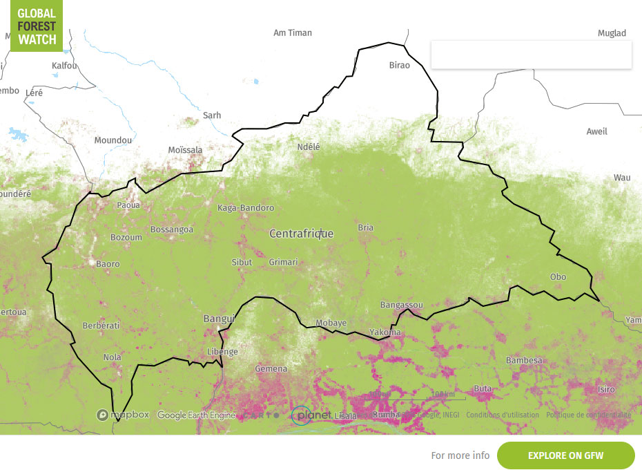
全球森林观察地图
Need to analyse deforestation risk at plot level? — WHISP

Open Foris Whisp (“What's in that plot?”) is a free and open-source solution developed by the Food and Agriculture Organization (FAO) to support rapid, plot-level analysis of land use and deforestation risk. It combines geospatial datasets and satellite-based information to provide transparent insights for a specific location, helping users understand whether the area is forest, agricultural land, or potentially linked to deforestation or disturbance.
WHISP uses GPS points or plot polygons to perform an analysis based on multiple public datasets on forests and land use.
The aim is to identify plots that may present a potential deforestation risk and those for which further checks may be necessary.
关键数据表
| 陆地面积 | 6,230 万公顷 |
|---|---|
| 森林覆盖 | 2,220 万公顷 (35.6%); 大部分为其他自然再生林 |
| 生产林 | 480 万公顷用于生产 |
| 森林所有权 | 98.9% 公有 1.1% 所有权未知 |
| 年变化率 | '过去 25 年 (1990-2015),每年的变化率为 -0.1% |
来源: FAO, 2015
See also: Global Forest Ressources Assessment 2020, FAO
Subnational variations in risks
| HARVESTING SOURCE | DUE DILIGENCE COMPLEXITY | DUE DILIGENCE CONSIDERATION AND CONTROL CHECKS |
|---|---|---|
|
Forest Exploitation and Management Permits (Permis d’Exploitation et d’Aménagement – PEA) |
Moderate |
Holders of Forest Exploitation and Management Permits (Permis d’Exploitation et d’Aménagement – PEA) are required to strictly comply with the provisions of the forest management plan and all applicable laws and regulations governing timber harvesting. Key verification points: Ensure that harvesting activities comply with the rotation schedule established in the forest management plan, that timber originates from the authorised Annual Cutting Area (Assiette Annuelle de Coupe – AAC), and that the Annual Operational Plan (Plan Annuel d’Opérations – PAO) and annual harvesting authorisation are valid. Verify the consistency between harvested and declared timber volumes, as well as the availability and compliance of all required legal documents, including timber movement records, proof of payment of forest taxes and fees, and transport documents. |
|
|
HIGH |
Particular attention should be paid to forest governance, the implementation of the Simplified Forest Management Plan, and timber traceability. Key verification points: Verify the community forest allocation decree and its validity, the Simplified Forest Management Plan, the boundaries of the community forest, and the exact location of timber harvesting. Also verify the consistency between declared timber volumes and the corresponding transport documents. |
| ARTISANAL LOGGING PERMITS | VERY HIGH | Artisanal logging permits cover an area of 10 hectares and are valid for one year, requiring enhanced verification of timber origin. Key verification points: Verify the validity of the permit, the identity of the permit holder, the permit boundaries, and the exact origin of the timber. Also verify the relevant transport and commercial documentation. |