Guyana
Forest resources and context of Guyana
Guyana has around 16.5 million hectares of forested land constituting 84% of the total land area.
Land surface
19.7million ha
Forest cover
16.5million ha
Production forest
14.4million ha
Forest ownership
84.6% publicly
Forest resources in Guyana
Types of forest
The full extent of the 18.4 million hectares is primary or otherwise naturally regenerated forest.
Guyana’s forests are classified as swamp and mangrove forest on the coast and rainforest, seasonal, dry evergreen, marsh and montane forest in the interior, and are part of the wider Guyana Shield rainforest eco-region.
Guyana has a total area of 21.5 million hectares of which the land area measures 19.7 million hectares while the remainder of the country area is taken up by its many rivers. According to FAO (2015), Guyana has around 16.5 million hectares of forested land constituting 84% of the total land area. According to the Guyana National Forest Policy Statement of 2018 (GoG, 2018), however, Guyana has around 18.4 million hectares1 of forested land, which constitutes to 87% of the country area or 93% of its land surface.
1 The most recent assessment by GFC (2019) indicates a forest area of 18.1 million hectares. This forest area update is based on remapping, using higher resolution 5 m resolution imagery and removal of shifting cultivation areas, which explains differences with earlier reports.
Forest ownership in Guyana
86.2% of the forest area is under the management and control of the Government of Guyana; of which 12.2 million hectares (67%) are designated as State Forests2 and placed under the management of the Guyana Forestry Commission (GFC). The remaining 12.9% are designated as State Land under the remit of the Lands and Surveys Commission. The remainder are mainly privately owned, titled Amerindian Lands (13.8% ) and protected areas (6.0% ). Guyana has 5 protected areas which contain significant forest areas, including (1) Kaieteur National Park, (2) Iwokrama, of which approximately 180,000 hectares have been set aside for forest conservation, (3) Kanuku Mountains Protected Area, (4) Konashen, and (5) Shell Beach Protected Area, which includes mangrove forests.
Out of the 12.2 million hectares of State Forest 4.7 million hectares (38%) have been issued as timber concessions, of which 1.7 million hectares (13%) as large, long-term concessions, 2.0 million hectares (17%) as small, short-term concessions and 1.0 million hectares (8%) as exploratory permit with no active timber harvesting operations yet (GFC, 2018).
2 State Forest (production forest) covers 12.6 m ha, but includes 440k ha non-forest. In addition, there are 2.3 m ha State Lands that classify as forest - Leases (agricultural) on State Lands are issued by the Guyana Lands &Surveys Commission over areas within State Lands, while mining licences or permits are issued by the Guyana Geology and Mines Commission over areas within State Lands - holders of an (agricultural) lease, mining licence or permit become Forest Sector Operators (FSO)s when authorised by the Guyana Forestry Commission (GFC) to salvage timber within the boundaries of such areas.
key figures
| Land surface | 19.7 million hectares |
|---|---|
| Forest cover | 16.5 million hectares (84%); only primary or other naturally regenerated forests no planted forest |
| Production forest | 14.4 million hectares designated for production |
| Forest ownership | 84.6 % publicly owned 15.4 % privately owned |
| Annual change rate | -0,06 % per year between 2005 to 2015 |
Source: FAO, 2015
See also: Global Forest Ressources Assessment 2020, FAO
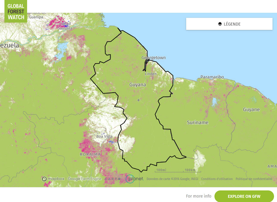
Global Forest Watch Map