


加纳
加纳的森林资源和背景
根据粮农组织 (FAO)(2020 年)的数据,加纳拥有约 790 万公顷林地,林地面积占土地总面积的 35.0%。约 760 万公顷为原生林或其他自然再生林,约 29.7 万公顷为人工林。
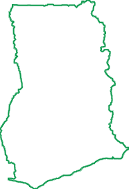
陆地面积
22.8百万公顷
森林覆盖
7.9百万公顷
生产林
1.5百万公顷
森林所有权
100% 公有
森林资源
森林类型
加纳森林大致分为两个植被区,每个植被区都拥有不同的植被和森林类型:南部的高原林区占土地面积的 34%,北部的草原区占土地面积的 66%(MLNR,2012)。
根据粮农组织 (FAO)(2020 年)的数据, 加纳拥有约 790 万公顷林地,林地面积占土地总面积的 35.0%。约 760 万公顷为原生林或其他自然再生林,约 29.7 万公顷为人工林。加纳拥有约 260 万公顷森林保护地,其中 160 万公顷属于所谓的高原林区。在这些保护地中,有 715,000 公顷专门用于天然木材生产,其余面积则为受保护林区以及用于人工林开发。除这些保护地外,约 50 万公顷的非森林保护区以及另外 200 万公顷的农田也生产木材。
森林所有权
加纳林区的所有权可分为公有土地、酋长土地、家庭土地和私有土地。但是,所有森林资源的管理,包括木材采伐权,均由林业委员会管理,旨在保护土地所有者的利益。与保护区内森林资源相比,林业委员会对保护区外森林资源的管理职责较为有限。在保护区外,林业委员会负责监管而非管理对森林和木材资源的利用(ClientEarth,2013a)。
Need to analyse deforestation risk at plot level? — WHISP

Open Foris Whisp (“What's in that plot?”) is a free and open-source solution developed by the Food and Agriculture Organization (FAO) to support rapid, plot-level analysis of land use and deforestation risk. It combines geospatial datasets and satellite-based information to provide transparent insights for a specific location, helping users understand whether the area is forest, agricultural land, or potentially linked to deforestation or disturbance.
WHISP uses GPS points or plot polygons to perform an analysis based on multiple public datasets on forests and land use.
The aim is to identify plots that may present a potential deforestation risk and those for which further checks may be necessary.
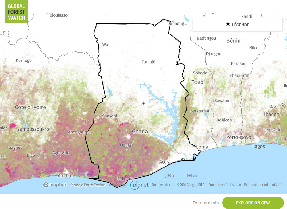
Global Forest Watch Map
RISK SCORES
|
CORRUPTION PERCEPTION INDEX (Transparency international) Corruption Perception Index 43/100
0 is highly corrupt, 100 is very clean. |
ILLEGAL DEFORESTATION AND ASSOCIATED TRADE (IDAT) Risk (Forest Trend) 59.20/100
00 is higher risk, 0 is lower risk
|
|
SOURCING HUB RISK SCORE (Preferred by nature) 35/100 0 is higher risk, 100 is lower risk
|
COUNTRY DEFORESTESTATION CLASSIFICATION LIST - EUDR (European Commission) LOW risk category For more information about the methodology, see here
|
Interpretation of Risk Indicators
Subnational variations in risks
| HARVESTING SOURCE | DUE DILIGENCE COMPLEXITY | DUE DILIGENCE CONSIDERATION |
|---|---|---|